The high resolution NAM shows the snow potential tonight across central ontario and quebec. I still think the snow stays predominantly north of montreal and Ottawa with marginal boundary level temperatures. The precipitation will be fairly light as well. Wet bulb temperatures are above the zero degree mark which shows signs of a less favourable situation for many populated areas in ontario and quebec. Nonetheless flakes can be seen tonight in Ottawa and Montreal as well as cottage country in ontario and should NOT be ruled out. Accumulating snow seems less likely in these areas but further north near quebec city or trois rivieres this is possible tonight and tomorrow. Back end snow showers in southern ontario and northern michigan may be possible as well tomorrow morning.
NAM composite reflectivity may be a bit too warm but is on the right track:
850 mb temps and surface wet bulb temperatures on the GFS are just below zero:
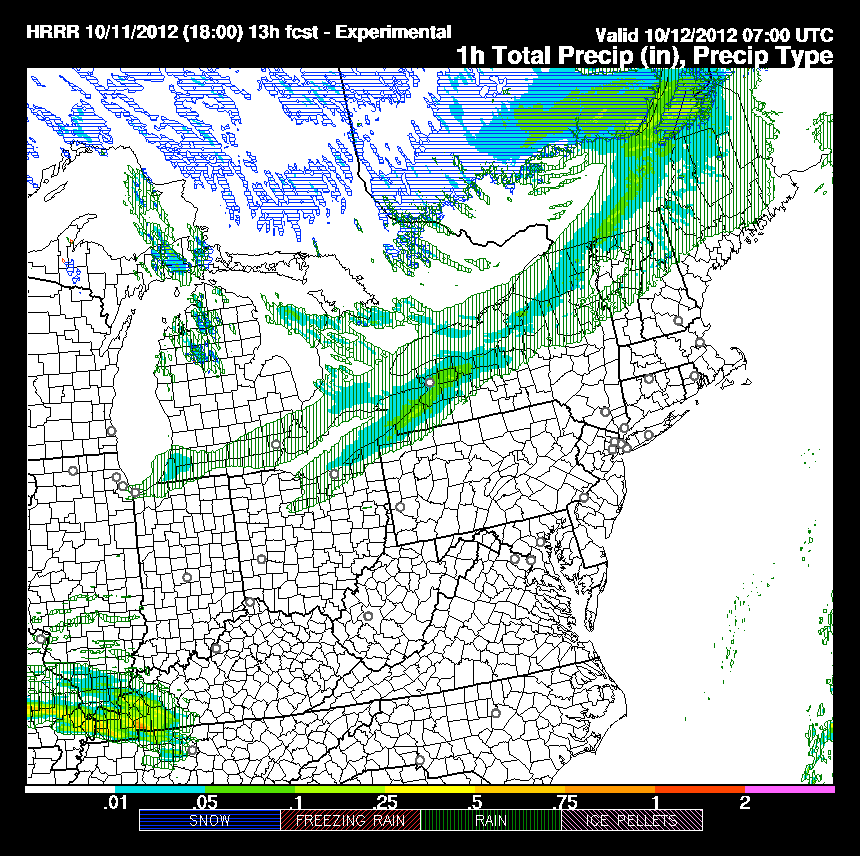
HRRR says rain with the initial wave but some snow showers on the back side for ottawa, montreal and central ontario before the system pulls northwards. People across this area might wake up to some exiting weather! A line of showers is depicted for the northeast tomorrow morning as the cold front moves eastwards ushering in the last of a series of arctic air masses for the east this week.
Have a good night everyone!


No comments:
Post a Comment